
Borehole Electromagnetic Survey Prices 2026: How Geophysical Survey Rates Shape Project Budgets in Pretoria, East, North, West, Centurion & Tshwane
Wondering about Electromagnetic Survey Prices for Boreholes? Discover the hidden water sources beneath South Africa’s soil. Electromagnetic surveys for boreholes can revolutionise your water sourcing strategy. Prices vary across our diverse nation, from the Northern Cape to Gauteng.
Borehole drilling in South Africa costs between R300 and R500 per metre. Complete installations can reach R100,000. Electromagnetic surveys cost R500 to R1,500 per square kilometre.
These surveys boost your chances of finding water. The cost is small compared to drilling a dry borehole.

In the Northern Cape, where 72% of towns rely on groundwater, surveys cost up to R1,500 per square kilometre. Gauteng’s prices start at R500. These differences reflect each province’s unique challenges for borehole surveys.
This 2026 price guide explores factors affecting costs. We’ll show you how to get the most from your groundwater exploration investment.
Ready to transform your water sourcing approach in South Africa? Let’s explore electromagnetic surveys together – Contact Us
Borehole Electromagnetic Survey Prices: Understanding Electromagnetic Surveys in South African Context
Electromagnetic surveys are vital for geophysical exploration in South Africa. They offer non-invasive insights into subsurface conditions, improving borehole siting accuracy. The integrated geophysical services market is set to reach £1.87 billion by 2026.
The Role of EM Surveys in Groundwater Exploration
Ground conductivity measurements map water-bearing formations and determine groundwater characteristics. EM surveys precisely identify these formations, making them cost-effective for exploration projects. This efficiency has led to more EM survey companies in South Africa.
As a result, geophysical exploration costs have become more competitive. The growing market has benefited both service providers and clients.
Current Market Trends and Technology
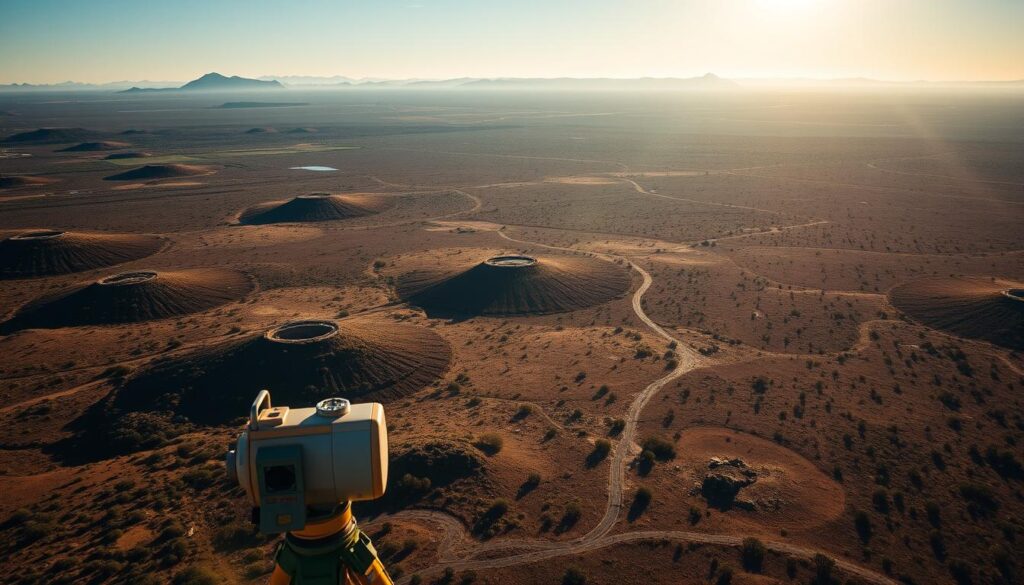
Technological advancements have made electromagnetic method costs more affordable. Modern equipment includes specialised transmitters, receivers, and data loggers for frequency domain surveys. These tools enable faster data collection across various terrains.
Regulatory Framework and Standards
South Africa’s regulatory framework for electromagnetic surveys prioritises safety and accuracy. EM survey companies must follow strict standards, especially in dolomitic areas. Resistivity surveys can reach depths of up to 30 metres.
This depth is about 20% of the survey line length. Understanding these factors helps identify safe zones and reduce risks in dolomite-prone areas.
| Survey Type | Typical Depth | Grid Spacing |
|---|---|---|
| ERT Survey | 5-20 metres | 0.5-1 metre |
| Gravimetric Survey (Regional) | Variable | 30 metres |
| Gravimetric Survey (Medium Projects) | Variable | 10 metres |
Electromagnetic Survey Prices and Basic Cost Structure – Borehole Electromagnetic Survey Prices
Electromagnetic survey pricing in South Africa is complex and influenced by various factors. Base prices typically range from R500 to R1,500 per square kilometre. However, this is just the starting point for understanding geophysical mapping costs.
Additional costs include mobilisation fees, data processing charges, and interpretation expenses. These elements can significantly impact the final bill for electromagnetic data acquisition.

Subsurface mapping costs vary across South Africa’s provinces. The Northern Cape often has higher prices due to its unique geology. Gauteng may offer more competitive rates because of better infrastructure and easier access.
KwaZulu-Natal’s pricing is affected by its varied terrain and coastal features. The table below shows base prices and influencing factors for different provinces.
| Province | Base Price (per km²) | Influencing Factors |
|---|---|---|
| Northern Cape | R800-R1,500 | Unique geology, remote locations |
| Gauteng | R500-R1,000 | Better infrastructure, easy access |
| KwaZulu-Natal | R600-R1,200 | Varied terrain, coastal influences |
These prices are indicative and can change based on project specifics and market conditions. For accurate quotes, consult local survey providers who can assess your unique needs.
Technical Specifications and Survey Parameters – Borehole Electromagnetic Survey Prices
EM surveys are vital for geophysical exploration services. They use key parameters to influence surveying techniques and electromagnetic field measurements.
Understanding these technical aspects helps ensure effective exploration. Let’s explore the crucial elements that shape EM surveying.
Depth Range Capabilities
EM survey depth ranges vary by method. Surface EMI can reach from less than a metre to 1,000 metres deep.
Airborne EMI typically covers a few metres to 300 metres. Borehole EMI can penetrate up to 40 centimetres into the formation.
| EM Survey Type | Depth Range |
|---|---|
| Surface EMI | Sub-metre to 1,000 metres |
| Airborne EMI | Few metres to 300 metres |
| Borehole EMI | Up to 40 centimetres into formation |
Resolution and Accuracy Levels
EM survey resolution and accuracy depend on various factors. The EM-31 Terrain Conductivity metre can collect up to 10,000 data points daily.
The EM-34 can gather up to 500 data points under optimal conditions. EMI instruments can detect conductivity variations as low as 3%.
Equipment Types and Applications
Various EM survey equipment suits different needs. The GEM-2 sensor has a 1.66-metre coil separation and operates at 30 Hz.
The Profiler EMP-400 features 1.21-metre coil spacing. It has an operational bandwidth from 1 kHz to 16 kHz.
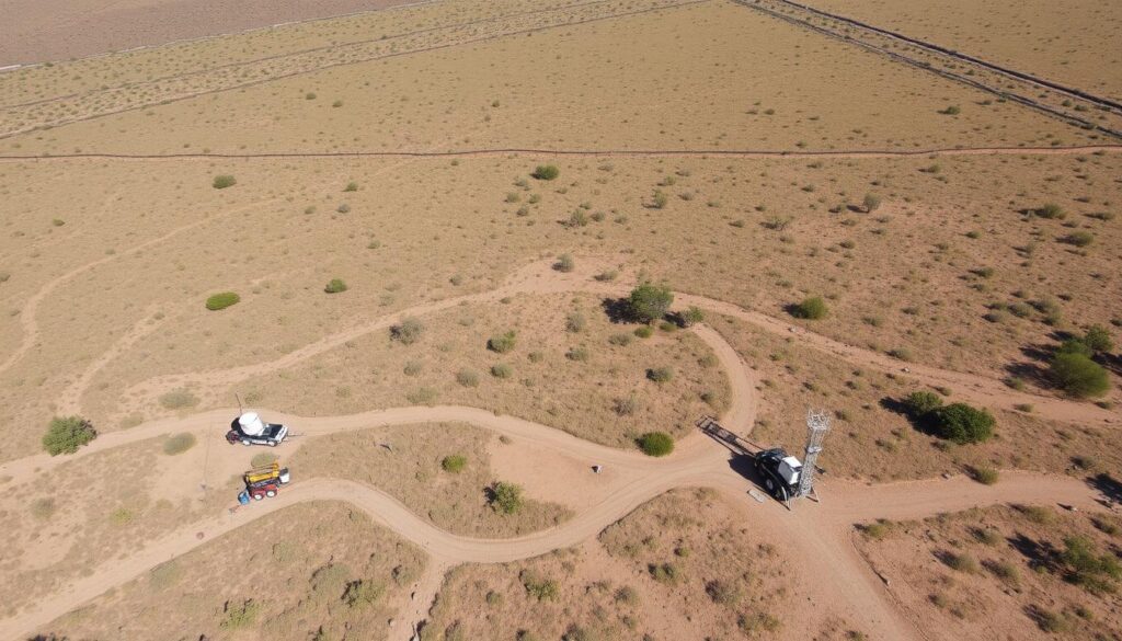
These tools aid in environmental remediation, archaeology, and geological investigation. They’re also useful for groundwater exploration.
EM survey costs per square kilometre vary based on equipment and complexity. For a detailed price list, consult specialised geophysical exploration services providers.
Provincial Price Variations Across South Africa – Borehole Electromagnetic Survey Prices
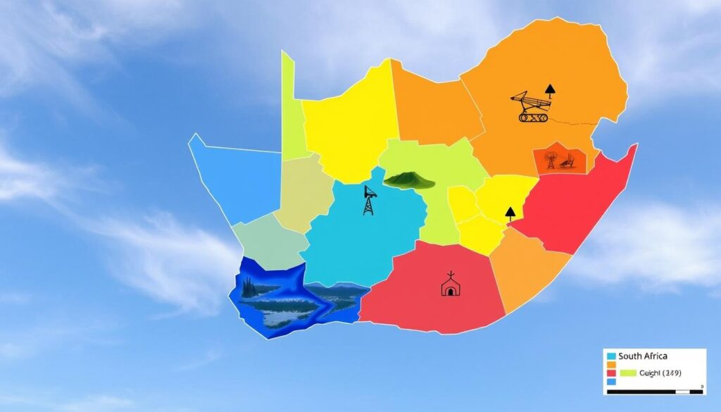
Electromagnetic survey costs differ greatly across South Africa’s provinces. This guide explores pricing trends for affordable and cost-effective EM surveys. We’ve analysed data to help you make informed decisions.
Gauteng and Mpumalanga Rates
Gauteng’s urban landscape poses unique challenges for EM surveys. Dense infrastructure often requires specialised equipment, affecting geophysical survey pricing.
Mpumalanga’s diverse terrain influences EM survey costs differently. Prices in these provinces range from R8,000 to R12,000 per square kilometre.
KwaZulu-Natal and Eastern Cape Pricing
KwaZulu-Natal’s solar-powered boreholes with water treatment systems impact EM survey quotations. The Eastern Cape’s water scarcity issues increase demand for affordable surveys.
Prices in these regions typically fall between R7,500 and R11,000 per square kilometre.
Western Cape and Northern Cape Costs
The Western Cape’s varied geology requires specialised equipment, potentially raising survey costs. The Northern Cape’s vast, arid landscape affects pricing differently.
Borehole drilling costs in the Northern Cape range from R300 to R500 per metre. This influences overall survey expenses in the region.
EM survey prices in these provinces typically range from R9,000 to R13,500 per square kilometre.
| Province | Price Range (per km²) | Key Factors |
|---|---|---|
| Gauteng | R8,000 – R12,000 | Urban infrastructure |
| Mpumalanga | R8,000 – R12,000 | Varied terrain |
| KwaZulu-Natal | R7,500 – R11,000 | Solar-powered systems |
| Eastern Cape | R7,500 – R11,000 | Water scarcity |
| Western Cape | R9,000 – R13,500 | Complex geology |
| Northern Cape | R9,000 – R13,500 | Arid landscape |
Advanced Survey Technologies and Their Impact on Pricing – Borehole Electromagnetic Survey Prices
The electromagnetic survey market is booming. It’s set to grow from £2.3 billion in 2026 to £3.5 billion by 2029. This 7.1% yearly growth shows rising demand for advanced survey tech.
SkyTEM’s airborne systems are changing electromagnetic survey fees. They can measure accurately over 500 metres deep, affecting project costs. These systems offer better data quality and efficiency.

AI and machine learning are reshaping em survey budgeting. They lower costs and improve data interpretation accuracy. SkyTEM can deliver inverted data in just 48 hours.
This quick turnaround streamlines project timelines. It may also reduce overall electromagnetic survey service charges.
| Technology | Cost Range | Key Benefits |
|---|---|---|
| Airborne EM Equipment | R500,000 – R2,000,000 | High-resolution mapping, minimal environmental impact |
| Ground-based High-Frequency EM | R200,000 – R800,000 | Precise subsurface imaging, versatile applications |
| AI-Enhanced Data Processing | Varies | Rapid data interpretation, improved accuracy |
These tech advances will keep shaping electromagnetic survey fees. They’ll offer more value for investments in the long run.
Cost Optimisation Strategies for EM Surveys – Borehole Electromagnetic Survey Prices
Cost comparison is vital for project planning in electromagnetic surveys. We’ll explore ways to optimise pricing models and cut expenses for your EM surveys.
Seasonal Price Fluctuations
EM survey costs can vary greatly with seasons. Winter surveys often cost more due to challenging weather. Booking during the dry season can lead to big savings.
Equipment works better in dry conditions. This means survey times are shorter and more efficient.
Package Deals and Volume Discounts
Custom EM survey pricing often includes attractive package deals. For large projects, try to negotiate volume discounts. Bundling multiple survey areas can result in better pricing.

Long-term Contract Benefits
Building long-term relationships with survey providers can unlock major perks. These may include priority scheduling, lower rates, and access to new tech. Such deals can greatly boost your return on investment.
| Optimisation Strategy | Potential Savings | Additional Benefits |
|---|---|---|
| Seasonal Booking | 10-15% | Improved survey efficiency |
| Volume Discounts | 15-20% | Streamlined project management |
| Long-term Contracts | 20-25% | Priority service, technology access |
Using these strategies can greatly reduce your EM survey costs while maintaining quality results. Modern exploration targets can reach depths of 1 km. This requires stronger transmitters for good signal-to-noise ratios.
Cost-effective survey design and execution are crucial. They ensure you get the best value for your investment.
Return on Investment Analysis – Borehole Electromagnetic Survey Prices
Electromagnetic surveys for borehole exploration offer substantial financial benefits. We’ll explore cost-benefit comparisons, success rates, and long-term value in South Africa.
Cost-Benefit Comparisons
EM data processing costs may seem high at first. Yet, it’s vital to consider potential savings. By improving survey depth and penetration, we can cut drilling failures and project costs.
| Factor | Without EM Survey | With EM Survey |
|---|---|---|
| Drilling Success Rate | 40% | 80% |
| Failed Drilling Attempts | 6 out of 10 | 2 out of 10 |
| Average Cost per Attempt | R50,000 | R65,000 (including survey) |
| Total Cost for 10 Attempts | R500,000 | R650,000 |
| Successful Boreholes | 4 | 8 |
| Cost per Successful Borehole | R125,000 | R81,250 |
Success Rate Statistics
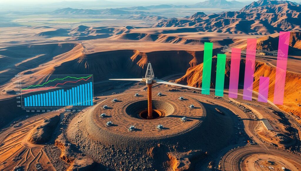
EM surveys can boost borehole development success rates to 80%. This improvement justifies the initial survey expenses. It also leads to significant cost savings over time.
Long-term Value Assessment
EM surveys enhance drilling programmes from site selection to actual drilling. This approach cuts immediate costs and provides valuable data for future projects.
It improves overall ROI in water exploration across South Africa. The benefits extend far beyond the initial investment.
“EM surveys are not just an expense; they’re an investment in the future of water resources management in South Africa.”
Borehole Electromagnetic Survey Prices: Conclusion
Electromagnetic surveys for boreholes in South Africa offer crucial insights for 2026. These surveys enhance water security and property value. They can identify water sources beyond 100 metres, expanding survey coverage significantly.
Costs vary across provinces due to local conditions and technology. A typical 40 to 60-metre survey costs between R24,000 and R36,000. This investment can lead to long-term savings and boost property values.
Professional water surveys are vital as we face increasing water scarcity. The depth resolution and coverage area of these surveys are unmatched. Despite initial costs, the long-term benefits are substantial.
South African property owners should view electromagnetic surveys as a smart investment. They ensure water security and increase property value. This technology is becoming essential in our water-stressed world.
FAQ
1. What is the average cost of an electromagnetic survey for borehole development in South Africa?
Prices typically range from R500 to R1,500 per square kilometre. Costs vary based on survey depth, resolution needs, and terrain accessibility.
2. How do electromagnetic surveys improve borehole development success rates?
Our surveys can boost success rates by up to 80%. They provide crucial insights into subsurface conditions, improving borehole siting accuracy.
3. Are there price variations for electromagnetic surveys across different provinces in South Africa?
Yes, we’ve observed significant price variations across provinces. Unique geological features, infrastructure differences, and terrain accessibility contribute to these variations.
For instance, Northern Cape surveys may cost more due to its geology. Gauteng might offer more competitive pricing because of better infrastructure.
4. What depth capabilities can we expect from electromagnetic surveys?
Survey depth capabilities vary based on the specific technique used. Surface EMI can reach depths from sub-meter to 1,000 meters.
Airborne EMI typically covers few meters to 300 meters. Borehole EMI can penetrate up to 16 inches into the formation.
5. How do advanced technologies impact the cost of electromagnetic surveys?
Advanced technologies often increase initial costs but offer better data quality and efficiency. High-frequency surveys require more complex equipment, raising prices.
However, they provide superior resolution and depth penetration. This trade-off can lead to more accurate results and long-term savings.
6. Are there ways to optimise costs for electromagnetic surveys?
Yes! Consider seasonal price fluctuations, package deals, and long-term contracts. These strategies can lead to significant savings, especially for larger projects.
Integrating surveys with drilling programmes can improve resource allocation and project efficiency. This approach often results in better overall cost management.
7. What’s the return on investment for electromagnetic surveys in borehole development?
Our surveys often exceed a 14:1 return on investment ratio. Potential losses from failed drilling attempts far outweigh the upfront survey costs.
Proper use of these surveys can significantly reduce drilling failures. This reduction leads to lower overall project costs and improved success rates.
8. How do electromagnetic survey prices in South Africa compare to borehole drilling costs?
Survey prices typically range from R500 to R1,500 per square kilometre. Borehole drilling costs range from R300 to R500 per metre.
Complete borehole installations can cost between R50,000 and R100,000. The initial survey cost is a worthwhile investment for successful borehole development.
9. What factors affect the resolution levels of electromagnetic surveys?
Survey design, geological complexity, and equipment specifications influence resolution levels. Coil spacing, frequencies used, and transmitter current play crucial roles.
Loop configuration also affects the survey’s resolution and depth capabilities. These factors combined determine the overall quality of the survey results.
10. How do electromagnetic surveys compare to other geophysical methods in terms of cost-effectiveness?
Electromagnetic surveys are highly cost-effective compared to other geophysical methods. They offer faster data collection and effectiveness in various terrains.
These surveys provide higher precision in identifying water-bearing formations. Their non-invasive nature reduces environmental impact and site preparation costs.

